| dc.contributor.author | Solberg, Svein | |
| dc.date.accessioned | 2016-11-22T08:47:00Z | |
| dc.date.accessioned | 2016-11-22T09:38:12Z | |
| dc.date.available | 2016-11-22T08:47:00Z | |
| dc.date.available | 2016-11-22T09:38:12Z | |
| dc.date.issued | 2016-09 | |
| dc.identifier.isbn | 978-82-17-01690-8 | |
| dc.identifier.issn | 2464-1170 | |
| dc.identifier.uri | http://hdl.handle.net/11250/2422351 | |
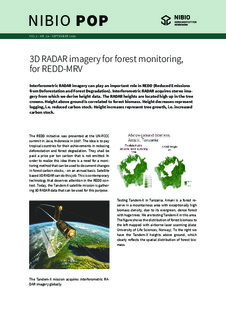
| dc.description.abstract | Interferometric RADAR imagery can play an important role in REDD (Reduced Emissions from Deforestation and Forest Degradation). Interferometric RADAR acquires stereo imagery from which we derive height data. The RADAR heights are located high up in the tree crowns. Height above ground is correlated to forest biomass. Height decreases represent logging, i.e. reduced carbon stock. Height increases represent tree growth, i.e. increased carbon stock. | nb_NO |
| dc.language.iso | eng | nb_NO |
| dc.relation.ispartofseries | NIBIO POP;2(29) 2016 | |
| dc.title | 3D RADAR imagery for forest monitoring, for REDD-MRV | nb_NO |
| dc.type | Others | nb_NO |
| dc.date.updated | 2016-11-22T08:47:00Z | |
| dc.subject.nsi | VDP::Landbruks- og fiskerifag: 900::Landbruksfag: 910::Landbruksteknologi: 916 | nb_NO |
| dc.subject.nsi | VDP::Agriculture and fisheries science: 900::Agricultural sciences: 910::Agricultural technology: 916 | nb_NO |
| dc.source.pagenumber | 2 | nb_NO |
| dc.source.volume | 2 | nb_NO |
| dc.source.journal | NIBIO POP | nb_NO |
| dc.source.issue | 29 | nb_NO |
| dc.identifier.cristin | 1484233 | |
| dc.subject.keyword | Klimagassutslipp / Greenhous Gas Emissions | |
| dc.subject.keyword | Radarinterferometri / Interferometric radar | |
| dc.subject.keyword | Skogovervåking / Forest monitoring | |