| dc.contributor.author | Breidenbach, Johannes | |
| dc.date.accessioned | 2020-08-20T08:22:20Z | |
| dc.date.available | 2020-08-20T08:22:20Z | |
| dc.date.created | 2017-10-18T18:44:49Z | |
| dc.date.issued | 2011 | |
| dc.identifier.isbn | 978-82-311-0140-6 | |
| dc.identifier.uri | https://hdl.handle.net/11250/2673129 | |
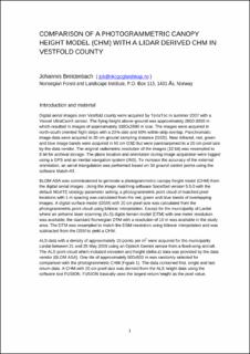
| dc.description.abstract | Digital aerial images over Vestfold county were acquired by TerraTec in summer 2007 with a Vexcel UltraCamX sensor. The flying height above-ground was approximately 2800-3000 m which resulted in images of approximately 1880x2880 m size. The images were acquired in north-south oriented flight strips with a 20% side and 60% within-strip overlap. Panchromatic image data were acquired in 20 cm ground sampling distance (GSD). Near infrared, red, green and blue image bands were acquired in 60 cm GSD but were pansharpened to a 20 cm pixel size by the data vendor. The original radiometric resolution of the images (12 bit) was resampled to 8 bit for archival storage. The plane location and orientation during image acquisition were logged using a GPS and an inertial navigation system (INS). To increase the accuracy of the external orientation, an aerial triangulation was performed based on 34 ground control points using the software Match-AT. | |
| dc.language.iso | eng | |
| dc.relation.ispartof | Creation of digital elevation models from aerial images for forest monitoring purposes. Proceedings, 9. June 2011, Ås, Norway | |
| dc.title | Comparison of a photogrammetric canopy height model (CHM) with a lidar derived CHM in Vestfold county | |
| dc.type | Chapter | |
| dc.description.version | publishedVersion | |
| dc.subject.nsi | VDP::Naturressursforvaltning: 914 | |
| dc.subject.nsi | VDP::Natural resource management: 914 | |
| dc.source.pagenumber | 1-4 | |
| dc.identifier.cristin | 1505711 | |
| cristin.ispublished | true | |
| cristin.fulltext | original | |
